Caribbean Charts

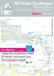
NV Charts nautical charts are regarded by charter fleets,
recreational sailors, and professional mariners as the authoritative Caribbean nautical
charts. NV Charts offer greater accuracy, detail, updates, and reliability than
any other cartography covering the Bahamas, Virgin Islands, Leeward Islands,
Windward Islands, and Puerto Rico. Nobody knows the Caribbean like NV Charts;
our nautical charts are created with a keen eye for meticulous detail and incorporate
precise local knowledge using the very best available data. This data is often
supplemented and enhanced with NV Charts’ own detailed survey data of navigable
waters outside of the main fairways, particularly valuable in the Bahamas where
there are many shallow areas and shifting channels and sandbars. NV nautical charts
are remarkably detailed, and available in paper and digital formats for use
with PCs and mobile devices including tablets, Android and Apple iOS systems
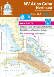
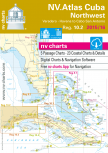
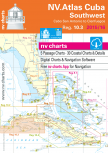
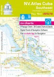
(with free app), and on digital plotter SD/microSD cards. Now available for the first time ever, NV Charts
offers exclusive, highly accurate nautical charts for Cuba. For decades, NV
Charts have been the preferred nautical charts for the Caribbean. NV Charts’
accuracy and reliability also makes them the choice of the U.S. Coast Guard and
Pilot associations in Germany.
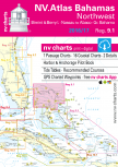
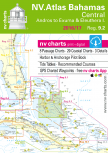
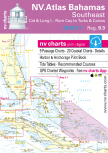
Charts selection
Please click in the are that you are looking for charts.You will be given a selecion of available cartography.