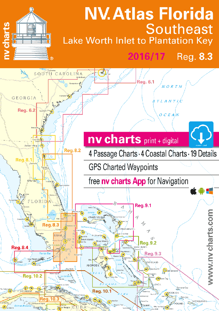
nv-charts Reg. 8.3, Florida, Southeast, Lake Worth to Plantation Key

Description
nv-charts Reg. 8.3, Florida, Southeast, Lake Worth to Plantation Key
Format: Kombipack Papier / Digital download and App- • CD with Charts
- • Coastal Charts
- • Revierkarten
- • Details
- • GPS Charted Waypoints & Approaches
-
Practical to use and accurate in the information and data published: This is the basic concept with which we have developed the nv-charts.
- • this Chart Kit is based on NOAA data with a new layout, clear cartography and international chart standards
- • depths and heights are charted in feet
- • north up chart orientation
- • channel markers in red and green
- • unique color differences, blue for the 6 ft and 18 ft dephts, and green for exposed tidal areas
- • contour lines for 12 ft and 30ft depths
- • under water reefs are clearly marked with a light green color and the reef above water in darker green
- • variable shoals marked in grey-blue
- • lighthouses illustrate their light characteristics for better identification
- • seaworthy chart layout - perfect chart flow from one chart to the next
- • standardized chart scales - passage charts 1:340,000 – coastal charts 1:45,000 and detail charts 1:25,000 or less
- • waypoints with latitudes and longitudes for GPS input
- • recommended courses with distances
- • arrow-symbols show buoyage direction
- • tide information on each chart
Scales
Passage Charts
C1 Florida South 1:1,300,000
C2 Miami · St. Lucie - Bahama Banks 1: 340,000
C3 Miami to Cape Sable 1: 340,000
Coastal Charts
C4 Fort Lauderdale to Miami 1: 100,000
C5 Miami to Key Largo North 1: 100,000
C6 Old Rhodes to Key Largo 1: 100,000
C7 Key Largo to Long Key 1: 100,000
C8A Lake Worth Inlet to Delray Beach N 1: 40,000
C8B Lake Worth Inlet to Delray Beach S 1: 40,000
C9A Delray Beach to Port Everglades N 1: 40,000
C9B Delray Beach to Port Everglades S 1: 40,000
C10 Port Everglades to North Miami 1: 40,000
C11 Miami North 1: 40,000
C12 Miami South 1: 40,000
C13 Biscayne Bay North 1: 40,000
C14 Biscayne Bay South 1: 40,000
C15 Boca Chita to Old Rhodes Key 1: 40,000
C16 Old Rhodes Key to Carysfort Reef 1: 40,000
C17 Key Largo East 1: 40,000
C18 Card Sound & Barnes Sound 1: 40,000
C19 Key Largo 1: 40,000
C20 Key Largo to Plantation Key 1: 40,000
C21 Plantation Key to Matecumbe Key 1: 40,000
Details
C22 Lake Worth Inlet 1: 20,000
C23 Ft. Lauderdale Approach 1: 15,000
C24A South Fork New River 1: 20,000
C24B Coconut Grove 1: 20,000
C24C Dania-Cut-Off Canal 1: 20,000
C25 Bakers Haulover Inlet 1: 15,000
C26 Miami Approach 1: 15,000
Cruising Information · Harbour Pilot p.27-31
Introduction· Weather · Nature Information p.27-31
Legend · Notes p.31/32