North Sea
For decades, professional mariners in Northern Europe have
relied on NV Charts/NV Verlag nautical charts for superior cartography for the Baltic
Sea, North Sea, Kattegat, Skagerrak and the Norwegian south coast waters. Every
NV nautical chart is created with a keen eye for meticulous detail and precise
local knowledge, using the very best available data. This is often supplemented
and enhanced with NV Charts’ own detailed survey data of navigable waters outside
of the main fairways. NV Charts nautical charts are professional navigation
tools; they are current, thoroughly corrected, and easy to read. NV nautical charts
are remarkably detailed, and available in paper and digital formats for use
with PCs and mobile devices including tablets, Android and Apple iOS systems (with
free app), and on digital plotter SD/microSD cards. NV Charts’ accuracy and reliability
makes them the choice nautical chart for those who make their living on the
sea, including the U.S. Coast Guard and Pilot associations in Germany.
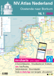
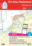
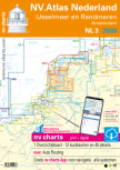
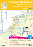
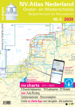
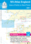
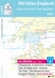
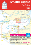
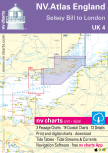
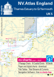
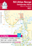
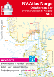
Charts selection
Please click in the are that you are looking for charts.You will be given a selecion of available cartography.
USD 19,80