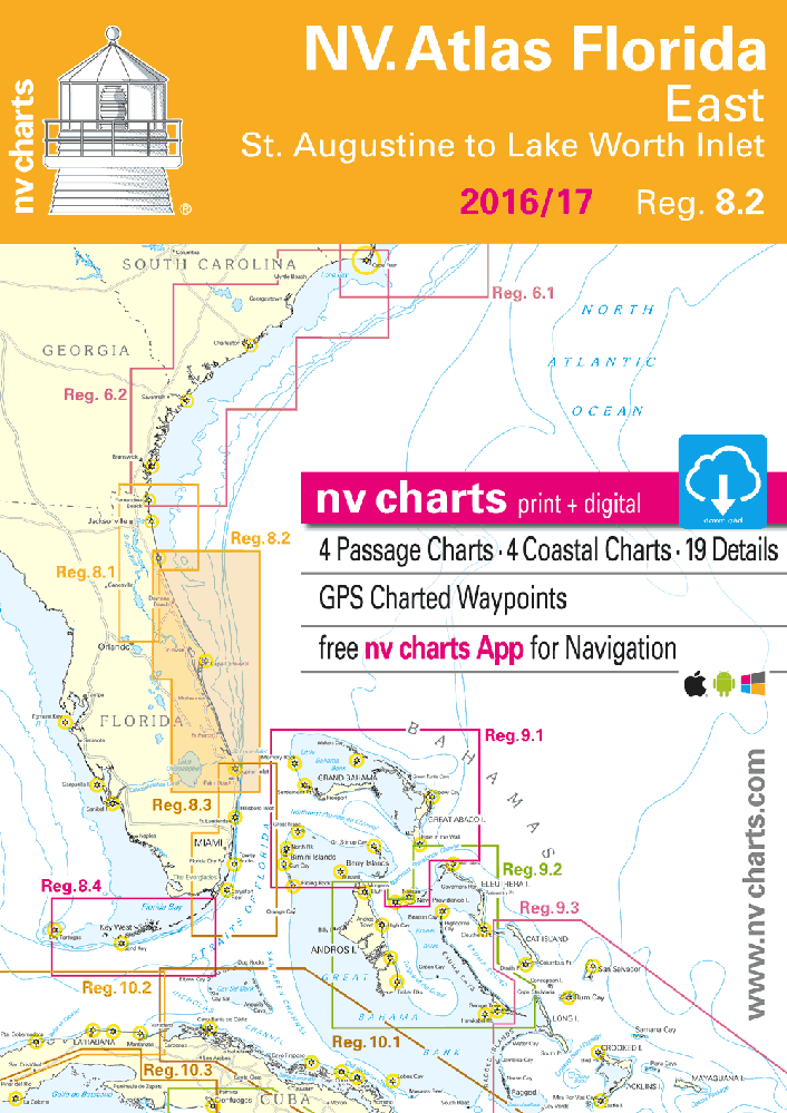
nv-charts Reg. 8.2, Florida, East, St. Augustine to Lake Worth Inlet
Description
nv-charts Reg. 8.2, Florida, East, St. Augustine to Lake Worth Inlet
Format: Kombipack Paper / Digital download and App- • Digital charts download
- • Coastal Charts
- • Passage Charts
- • Details
- • GPS Charted Waypoints & Approaches
Practical to use and accurate in the information and data published: This is the basic concept with which we have developed the nv-charts.
Scales
Passage Charts
C0 Caribbean Sea 1: 6,500,000
C1 Florida North 1: 1,300,000
C2 St. Augustine to Cape Canaveral 1: 340,000
C3 Cape Canaveral to Lake Worth Inlet 1: 340,000
Coastal Charts
C4 St. Augustine to Crescent Beach 1: 40,000C5 Crescent Beach to Palm Coast 1: 40,000
C6 Palm Coast to Halifax Creek 1: 40,000
C7 Halifax Creek to Daytona Beach 1: 40,000
C8 Daytona Beach to Ponce de Leon Inlet 1: 40,000
C9 Ponce de Leon Inlet to Indian River N 1: 40,000
C10 Indian River · Haulover Canal 1: 40,000
C11 Haulover Canal to Addison Pt. Br. 1: 40,000
C12 Addison Pt. Bridge to Cocoa 1: 40,000
C13 Cocoa to Sherwood Park 1: 40,000
C14 Merritt Island North East 1: 40,000
C15 Banana River · Cape Canaveral 1: 40,000
C16 Sherwood Park to Melbourne Shores 1: 40,000
C17 Indian R. · Melbourne Sh to Roseland 1: 40,000
C18 Indian R. · Roseland to Vero Beach 1: 40,000
C19 Indian R. · Vero Beach to Ft. Pierce 1: 40,000
C20 Indian R.· Ft. Pierce to Port St. Lucie 1: 40,000
C21 St. Lucie · Stuart to Jupiter Narrows 1: 40,000
C22 Jupiter Narrows to Jupiter Inlet 1: 40,000
C23 Jupiter Inlet to Lake Worth Inlet 1: 40,000
C24 Jupiter Inlet to Lake Worth Inlet 1: 100,000
C25 Lake Okeechobee North 1: 100,000
C26 Lake Okeechobee South 1: 100,000
Detail Charts
C27A Canaveral Barge Canal West 1: 15,000
C27B Canaveral Barge Canal East 1: 15,000
C28A Singer Island 1: 20,000
C28B St. Augustine 1: 20,000
C29A Daytona Beach 1: 15,000
C29B Fort Pierce Inlet 1: 20,000
C30A Jupiter Inlet 1: 20,000
C30B St. Lucie Inlet 1: 20,000
Cruising Information · Harbor Pilot p.32-35
Introduction · Weather · Nature Information p.32-35
Legend · Notes p.35-36