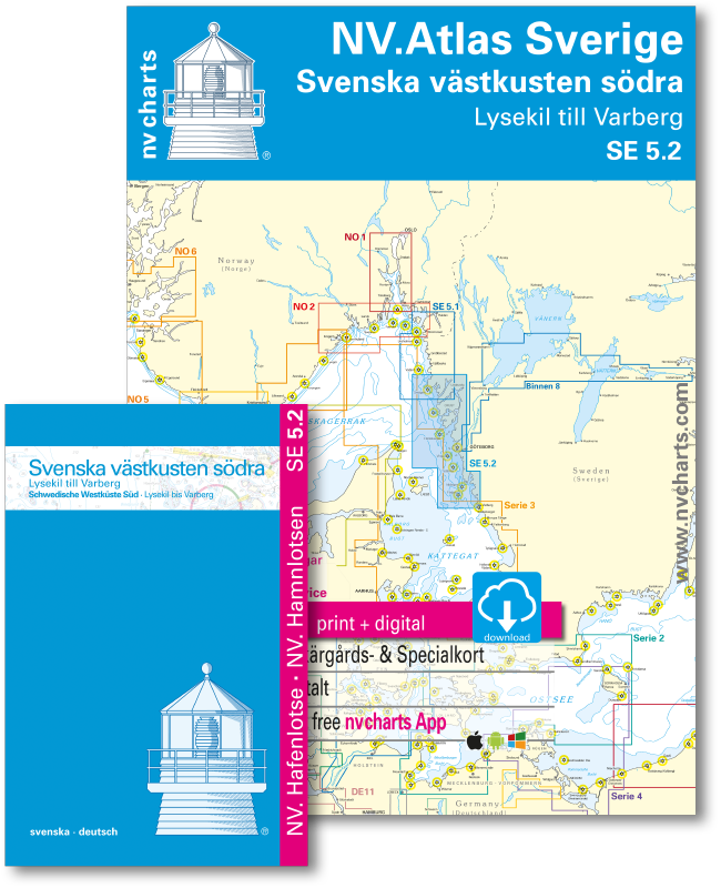
SE 5.2 NV. Atlas Sverige - Svenska västkusten södra

Description
NV. Sverige SE 5.2, Svenska västkusten norra - Norska grensen till Lysekil
Combination pack paper & digital download incl. App.
2 Passage Charts, 15 Coastal charts & 9 Details/Plans. Format 30x42cm, bound to Atlas. This chart folio contains a download code for all charts in this area / coverage in the digital nv charts format to be used on a smartphone/tablet with the nv chart app. This app is compatible with Apple: iOS/MacOSX, Android, Windows 7/8/10.
- • 2 Passage Charts
- • 15 Coastal Charts
- • 9 Details
- • remarkable data also off the beaten tracks
- • many own resurveys
- • Harbourguide with plans for all marinas and harbours / Hamnlots incl.
- • Harbourguide in paper & digital, text in german and swedish language
- • digitale charts included
- • nv charts app and navigationsoftware
- • Navigational notes in german/english/swedish language
nv charts for the baltic - The clever and compact chart folios are a specially designed cartography for the leisure marine market. All charts for the sea area Swedish west coast northern part contain nautical charts in various scales, all harbourplans and the details for approaches and passages. Additional shown are overhead clearances for bridges, powerlines, etc. and all nautical and navigational necessary data.
This chart product for the swedish archipelogo (Skärgård) is due to own surveys and information propably the most detailed chart folio on the market. In many areas, which are of interest to the leisure marine market, larger scale charts are used and additional charts added. A Harbourguide for marinas and natural harbours / anchorages is included. There all boating enthusiasts find nautical important information in German and swedish language. The atlas format allows a clear structure for navigation. Approaches, ports and anchorage are found fast and easily. All nautical information and important details are available in the charts and in the digital version for the app as well. The nv charts cartography is famous for its clever design of the coverages for each chart making best possible use of each scale.
Update
The chart folio NV.Atlas Serie 5.2 for the West-swedish Archipelago from nv charts is published each two years in a fresh and revised edition. For the digital nautical charts a download is provided in spring. Note: up-to-date charts are good seamanship and the base for a safe navigation. Nv charts is offering a monthly correction service for charts of the Baltic Sea from April to October. That way all mariners are always up-to-date.
Scales
Passage Charts
S1 Halden to Lysekil 1 : 240.000S2 Lysekil to Varberg 1 : 240.000 (Pilot Chart Anholt-Færder-Jomfruland 1 : 750.000 only in digital format)
Coastal Charts
S3 North of Orust 1 : 40.000S4 East of Orust 1 : 40.000
S5 North of Tjörn 1 : 40.000
S6 East of Tjörn 1 : 40.000
S7 Fiskebäckskil to Käringön 1 : 40.000
S8 Käringön to Marstrand 1 : 40.000
S9 Marstrand to Sälö 1 : 40.000
S10 Sälö to Öckerö 1 : 40.000
S11 Öckerö to Vinga 1 : 40.000
S12 Vinga to Tistlarna 1 : 40.000
S13 Tistlarna to Malö 1 : 40.000
S14 Malö to Ringhals 1 : 40.000
S15 Ringhals to Varberg 1 : 40.000
S16A Nordre Älv 1 : 40.000
S16C Kungsbackafjord 1 : 40.000
Details
S3A Råbergsund 1 : 10.000S16B Nordre Älv Flood barrage 1 : 3.000
S17 Lysekil to Gullholmen 1 : 20.000
S18 Gullholmen to Käringö Fjord 1 : 20.000
S19 Käringö Fjord to Kyrkesund 1 : 20.000
S20 Kyrkesund to Klädesholmen 1 : 20.000
S21 Marstrand 1 : 20.000
S22 Öckerö to Vinga 1 : 20.000
S23 Långedrag to Vrångö 1 : 20.000