


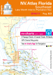
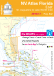
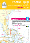
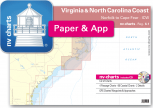
US East Coast
U.S. East Coast sailors from Maine to the Chesapeake to
Florida rely on NV Charts nautical charts to guide them safely where they want
to go. Practical and easy to use, NV Charts are preferred by recreational
leisure sailing and power boating mariners, as well as commercial fishermen,
ferries, and cargo carriers, for their accuracy and reliability. NV Charts’
remarkably detailed nautical charts of the East Coast are divided into seamlessly linked regions and
include the Intracoastal Waterway, Albemarle and Pamlico Sounds, Chesapeake
Bay, Delaware Bay, New York, Long Island, Cape Cod, and the favored Maine
cruising grounds. Every NV nautical chart is created with a keen eye for
meticulous detail and precise local knowledge, using the very best available
data. This is often supplemented and enhanced with NV Charts’ own detailed
survey data of navigable waters outside of the main fairways. NV Charts nautical
charts are current, thoroughly corrected, and easy to read. NV Charts are
remarkably detailed, and available in paper and digital formats for use with
PCs and mobile devices including tablets, Android and Apple iOS systems (with
free app), and on digital plotter SD/microSD cards. NV Charts’ accuracy and
reliability makes them the choice nautical chart for those who make their
living on the sea, including the U.S. Coast Guard and Pilot associations in
Germany.
Charts selection
Please click in the are that you are looking for charts.You will be given a selecion of available cartography.
USD 19,80


USD 19,80