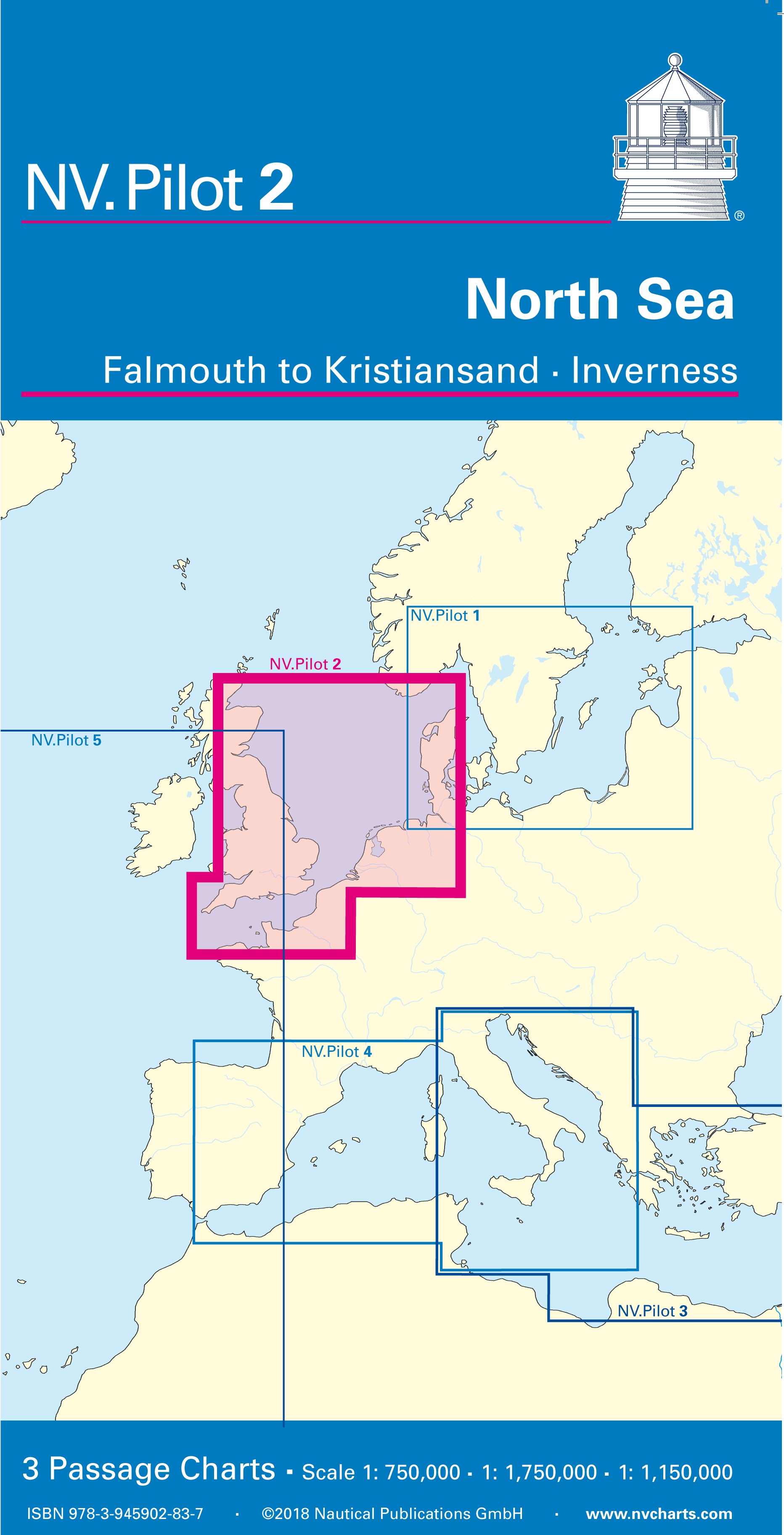
NV. Pilot 2, North Sea - Falmouth to Kristiansand • Inverness
Description
NV. Pilot 2, North Sea
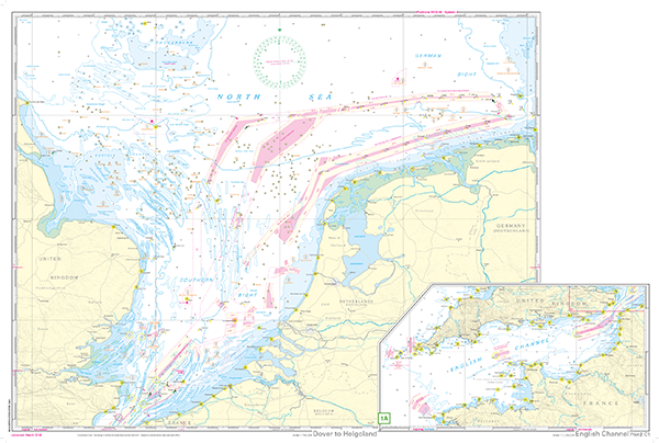
Front page South West North Sea and German Bight from Dover to Helgoland as well as Doggerbank in the North, scale 1:750.000; second chart: English Channel from
Falmouth/Ushant to Dover, scale 1:1,75 mio.
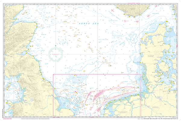
Back side: North Sea from Great Yarmouth to Skagen. Inverness and Norwegian South Coast to the north, scale 1:1,15 mio.
All three charts contain the relevant light, plattforms, traffice seperation sheems (vts) as well as wind farms. English language, charts in A1 format, folded to abt. 15 x 30 cm.
- Scales 1:1,75 Mio. und 1 : 750.000
- Edition 2018